
Missouri ZIP Code Coverage Types
Missouri’s delivery map cannot be reduced to a fixed city list. The Postal Service assigns ZIPs to delivery routes, post office boxes, unique institutions and postal stations, and the assigned area can cross a city or county line. The research did not locate an official static Missouri-only table of every current five-digit code, so a statewide directory should not print a guessed list as complete.
The coverage table names the verified classes and their practical limits. Use it to decide what kind of result a postal lookup can return, then check a specific address with the current federal source.
| ZIP Code / Class | Areas Covered | Post Office | Notes |
|---|---|---|---|
| Standard five-digit delivery ZIP | Addresses across all Missouri counties and municipalities | USPS city or station for the queried address | Postal city names can differ from the legal municipality |
| PO Box-only | Boxes served by post offices or stations statewide | The office where the box is held | May have no residential delivery points or Census ZCTA |
| Unique or firm | A single institution, campus, large organization or government facility | The named institution or office | Not a neighborhood population count |
| Three-digit routing prefix | Missouri postal regions and sectional centers | Regional routing context | Not a complete five-digit delivery code |
| Cross-boundary delivery area | Metro St. Louis, Kansas City, Springfield, Columbia, Joplin and rural county edges | Postal station serving the address | Check parcel and county records for legal jurisdiction |
PO Box-only and unique codes are the geographic oddities most likely to mislead a reader. They can identify a mail destination without describing a residential street or a group of households.
Verify Missouri ZIP Codes by Address
The USPS ZIP Code Lookup is the current way to check a delivery point or ask which postal city serves an address. Its front page offers three routes, shown in the accompanying capture. The address route is the strongest choice when a parcel or street is known; a city-and-state search returns the postal names for that locality.
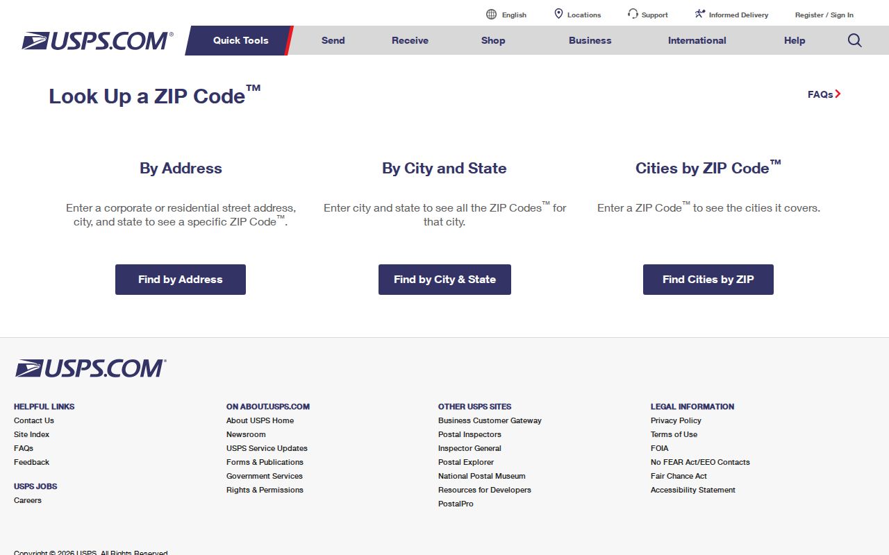
Use the address result to confirm the assigned postal route before comparing it with a county parcel record. The postal label helps route mail, but it does not settle city limits or tax jurisdiction.
| USPS search mode | What to enter | What it can confirm |
|---|---|---|
| By Address | Street address, city and state | The delivery ZIP for a specific address |
| By City and State | City name and Missouri | Postal ZIP choices associated with that city name |
| Cities by ZIP Code | A full ZIP | The city or cities the postal code serves |
Missouri ZIPs and Legal City Limits
A postal city is a delivery label, not proof of the legal municipality. Around St. Louis, a St. Louis postal address can fall outside the independent City of St. Louis and inside St. Louis County. The Kansas City area crosses Jackson, Clay, Platte and Cass counties, while Springfield, Columbia, Joplin and rural edges also have delivery areas that do not stop at one municipal line.
For an official property or court question, follow the parcel to its county or independent city. School boundaries, wards, precincts, postal routes and tax jurisdictions are separate layers too. Keep the wording from each record in its own field rather than replacing it with the postal city name.
Boundary check. Confirm the postal result at USPS, then use the assessor or GIS parcel record to identify the government that keeps the property record.
- ZIP Code
- The five-digit postal label assigned to a delivery address or service area.
- ZIP+4
- The four digits after the five-digit ZIP narrow delivery toward a block, building or delivery segment; they do not set a city boundary.
- PO Box-only ZIP
- A postal code assigned to box service rather than ordinary residential delivery points.
- Unique ZIP
- A code assigned to one institution or large organization, not a general neighborhood.
- Carrier route
- A Postal Service delivery path within its service area; it is not a separate ZIP or legal parcel line.
Missouri Parcels Need More Than a ZIP
A ZIP can narrow a place, but Missouri property records use local parcel numbers, street addresses and legal descriptions. St. Louis County’s property-tax inquiry accepts a Property Number, Owner Name or Address, then offers All, Real Estate, Personal Property and Hide Retired filters. A broad text query may return many rows, so narrow it with the parcel or the address the record actually uses.
The St. Louis City address and parcel portal takes an address or parcel and can show the property ZIP among its result fields, but it does not offer a ZIP search filter. It can also return neighborhood, ward, precinct, tax and sales details. Neither example stands in for every Missouri county; find local portals through the Missouri State Tax Commission assessor directory and check each office’s current search options.
Keep the parcel ID and legal description together when moving from a postal result into property records. A street address can change or be reused, while the legal description identifies the land in the deed or plat. The postal code is a delivery clue, not the property key.
Find Residents Within a Missouri ZIP
Finding resident records inside one ZIP takes a few distinct checks. Missouri voter search is county-based and exact-match, not a public ZIP roster; parcel systems may show a ZIP or accept an address without supporting a ZIP-wide owner search. Work from the delivery address toward the correct custodian:
- Enter the full street address at USPS and save the returned ZIP and postal city with the date checked.
- Use the county assessor or GIS map to identify the parcel, county or city, situs address and legal description. Do not treat a postal name as the county choice.
- Check the local property portal for a ZIP field. If it has only address, parcel or owner inputs, search those supported fields rather than assuming a ZIP filter exists.
- Use the Missouri voter lookup only for the voter’s own exact registration check. For a lawful file request, contact the correct local election authority and ask which statutory fields it can provide by precinct, ward or township.
- Once a street is known, follow the address-based records in the Missouri street directory, where parcel and deed sources can be checked at that smaller scale.
Missouri has 116 local election jurisdictions. The Missouri voter lookup is an exact-match self-check using first name, last name, date of birth, the last four Social Security digits and county. Under RSMo 115.157, limited voter fields may be supplied on print or electronic media, subject to the statute; RSMo 115.158 restricts use of the master list. Contact the relevant local election authority about its request process. A voter record can support a registration question, but it is not a live household roll for every ZIP.
| Voter lookup field | Input | Required | Missouri note |
|---|---|---|---|
| First name as registered | Text | Yes | A nickname may not match the file |
| Last name | Text | Yes | Use the registered spelling |
| Date of birth | Date | Yes | MM/DD/YYYY |
| Last four SSN digits | Numeric | Yes | Used to match; not displayed in the public result |
| County | Dropdown | Yes | Select the registration jurisdiction |
| Street name, if shown | Text | Where displayed | Omit the road type, such as St, Ln, Rd or Blvd |
Missouri ZCTAs Approximate Delivery Areas
The Census Bureau’s ZIP Code Tabulation Areas, or ZCTAs, are generalized areas built from whole census blocks. They are useful for mapping and population summaries, but they are not Postal Service delivery boundaries. Not every valid code has a ZCTA; a ZCTA can be noncontiguous or represent a PO Box-only or unique institutional code.
The Census explanation of ZCTAs describes these limits and the 2020 method. The image gives federal boundary context for comparing postal areas with Census maps.
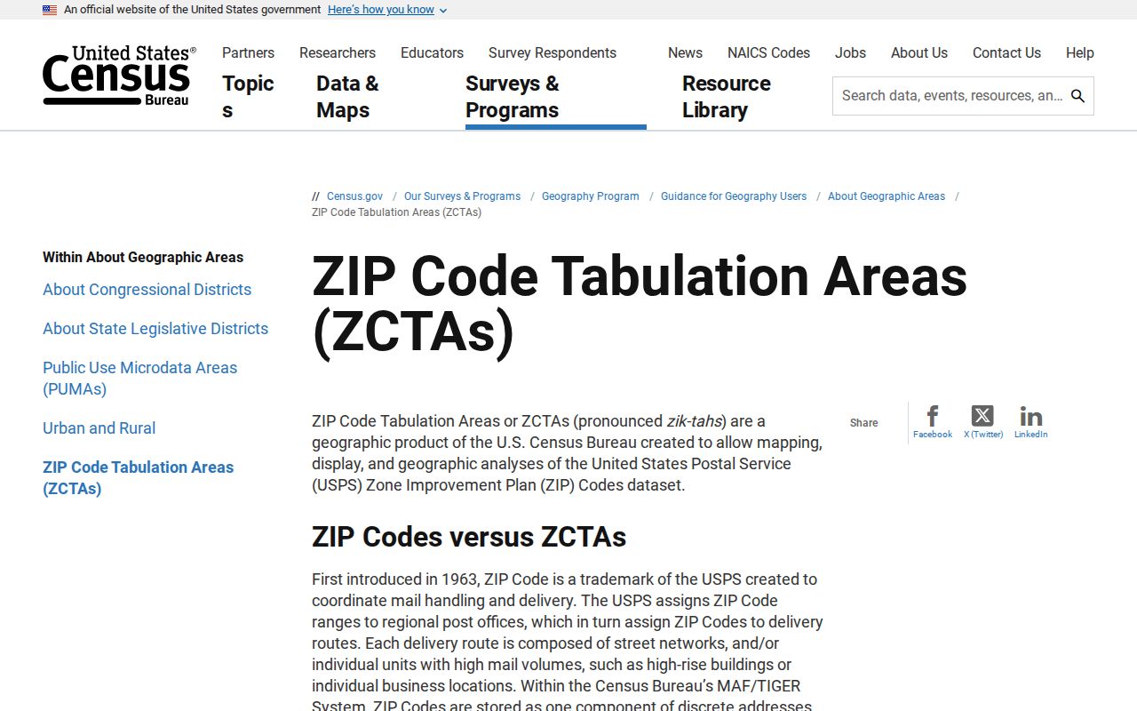
Use a ZCTA as a census geography, not as a promise that every postal delivery point lies inside one neat polygon. For current delivery, return to USPS; for a parcel, use county GIS; and for a population estimate, cite the Census geography being used.
Missouri ZIP History and Old Addresses
Historic addresses rarely carry a clean modern postal code. Missouri towns may appear by an old post office, township, village, county or neighborhood name, while street names and house numbers changed. The postal city can stay familiar even when the governing parcel office is elsewhere, so preserve the original place wording before normalizing it.
For St. Louis, the St. Louis Room holds Haines Criss-Cross directories and house-numbering certificates; the collection description explains those reference materials. The St. Louis Public Library genealogy collection also points to old telephone books, newspapers, maps and an obituary index. These sources can connect an earlier street or telephone entry to a person, but they are not organized by today’s ZIP boundaries.
Old plat maps, Sanborn maps, school-attendance finders and reverse directories describe different geographies. A ZIP-by-ZIP family search should use them as time-specific context, then return to the current parcel or USPS lookup for a present-day address match.
Keeping Missouri ZIP Coverage Current
Missouri ZIP assignments can change as postal routes and delivery points change. A useful statewide directory therefore records when a query was made and which tool answered it. The USPS lookup is the authority for a current address result; Census ZCTAs are a separate map product and should be labeled as such.
Before relying on a ZIP in a property or family record, verify the exact address at USPS, note the county and municipality from the parcel map, and check that county’s portal for a supported field. For a voter question, use the state’s self-check or ask the local election office about the permitted data route. That process avoids turning an outdated postal city or a code-only map into a claim about residents.
Missouri’s missing static statewide ZIP table is a real research limit, not a reason to copy an unverified internet list. A date-stamped address check, the local GIS boundary and a clearly labeled ZCTA comparison give a reader a safer, repeatable result.